
GIS Based Structure For Address Information
9 November 2018GIS Based Urban Regeneration Application
Introduction
Urban regeneration, particularly in slum zones, requires a comprehensive and strategic approach to redeveloping areas while ensuring the rights and participation of all stakeholders. Our GIS-based application provides an innovative solution for managing and executing complex urban renewal projects efficiently and effectively.
Overview of the Urban Regeneration Process
Redeveloping slum zones begins with a detailed analysis of the land and structural properties. This involves multiple stages:
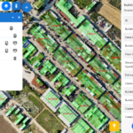
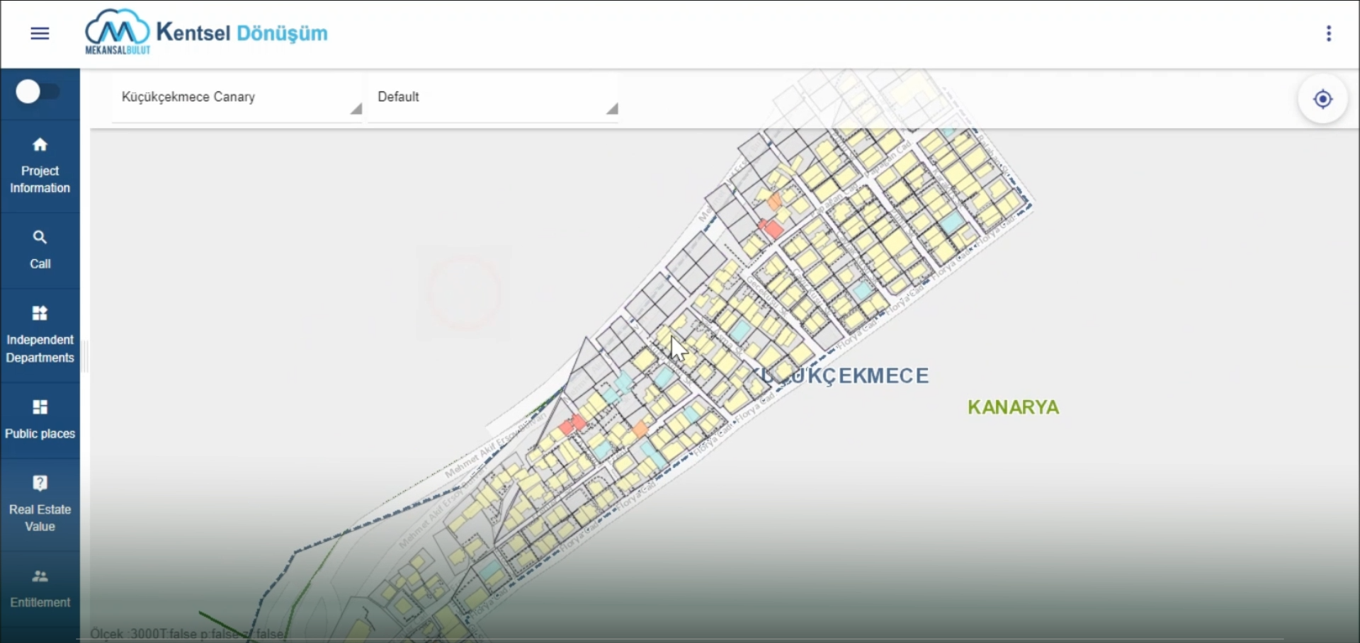
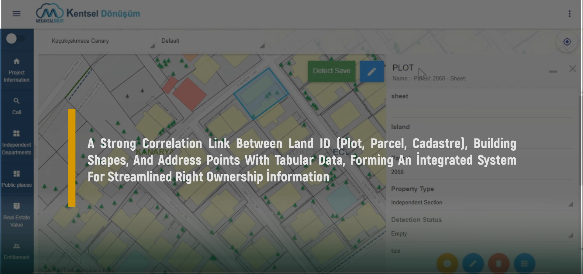
Land and Property Analysis: The process starts by understanding the cadastre and plot maps of the slum zones. A thorough analysis of each parcel of land is conducted to identify all stakeholders involved. Our GIS application integrates this data into a single, accessible layer, providing a comprehensive overview of land ownership and stakeholder involvement.
Site Survey and Real Estate Analysis: Following the land analysis, a detailed site survey is conducted. This step includes evaluating current real estate values to establish the financial baseline for the redevelopment project. Our application facilitates accurate data collection and analysis, ensuring that all aspects of the real estate market are considered.
Financial Structure and Project Cost Estimation: To plan a successful urban regeneration project, a detailed financial analysis is crucial. Our GIS application supports the calculation of project costs by providing tools for real estate evaluation, cost estimation, and financial modeling. This ensures that all stakeholders have a clear understanding of the financial implications and benefits of the project.
Defining Slum Dwellers' Rights: A key component of any redevelopment project is to ensure that the rights of current residents are protected. Our application helps define and record the entitlements of slum dwellers, ensuring they are transparently transferred into the redeveloped project framework.
Agreement Process and Stakeholder Collaboration: The final stage involves negotiating and finalizing agreements between stakeholders, developers, and public authorities. Our GIS application streamlines this process by providing a platform for communication, documentation, and real-time updates, fostering collaboration and transparency among all parties involved.

The Five Stages of Urban Renewal Projects
Determination of Projected Area: Identify and map the specific area designated for redevelopment.
Determination of Entitlement (Stakeholders): Analyze and identify all stakeholders and their entitlements within the redevelopment area.
Analysis and Reporting: Conduct a detailed analysis of the area, including site surveys and stakeholder consultations, and generate comprehensive reports.
Property Valuation: Accurately evaluate the current value of all properties within the redevelopment area to establish a financial baseline.
Reconciliation Process: Facilitate agreements between stakeholders, ensuring all parties are fairly compensated and their rights protected.
Why Use Our GIS Application for Urban Regeneration?
Include Mekansal LLP experiences and connect to second pragraphe!!!!!!
Our GIS-based solution provides a robust platform for managing every stage of urban renewal projects. It ensures data accuracy, enhances stakeholder communication, and supports transparent decision-making. By leveraging GIS technology, urban regeneration projects can proceed smoothly, from initial planning to final implementation.